Research Chair in Earth Observation for a Sustainable Future
Research Chair in Earth Observation for a Sustainable Future

“Best Local YP Activity 2025” Chapter Challenge
The IEEE Geoscience and Remote Sensing Society Young Professionals are excited to open applications for the 2025 Best Local YP Activity Chapter Challenge.


Chapter-Level DEIAB Activity Opportunity
GRSS strives to broaden diversity at all levels of society, including but not limited to race, colour, religion, gender identity, sexual orientation, national origin, marital status, disability, age, and parental status. GRSS promotes equity, inclusiveness, accessibility, and a sense of belonging in the services and resources it provides to its members.


New Post-doc Position at AWI/DLR
PostDoc position in “Interferometric SAR Data Processing and Analysis for Implementation in the 3D-ABC Foundation Model” (m/d/f)


REACT (EO4SDG) Competition – 3rd Edition
The EO4SDG (Earth Observation for Sustainable Development Goals) mini-projects are dynamic initiatives designed by IEEE Geoscience and Remote Sensing Society’s Technical Committee REACT (Remote sensing Environment, Analysis, and Climate Technologies).


Call for Proposals – Fifth GRSS Student Grand Challenge
The IEEE Geoscience and Remote Sensing Society (GRSS) is proud to announce the Fifth GRSS Student Grand Challenge (SGC) in which student teams will have to develop an end-to-end remote sensing application based on unmanned vehicles (e.g. drones, remote controlled planes or helicopters, underwater vehicles, rovers, stratospheric balloons…).


Highlights from 2024 IEEE GRSS IFT-MIRS TC Joint Summer School
The 2024 IEEE GRSS IFT-MIRS TC Joint Summer School hosted by Metro LA/Coastal LA Joint GRSS Chapter was successfully held at the California Institute of Technology, Pasadena, CA, on October 4-5, 2024.


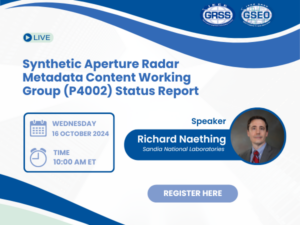
Synthetic Aperture Radar Metadata Content Working Group (P4002) Status Report
This talk will detail the goals, history, status, and future of the P4002 working group including describing the process and tools utilized in the development process. The overall goal of this standard is to describe the SAR sensor, operating modes and parameters, the collection and acquisition of SAR data, and processing algorithms that have been applied along with related parameters.


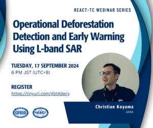
Operational Deforestation Detection and Early Warning Using L-band SAR
This webinar focuses on a unique tool to combat deforestation in the Amazon rainforest based on long-term observation by Japan’s 3rd generation L-band SAR aboard the Advanced Land Observing Satellite 2 (ALOS-2), namely the JICA-JAXA Forest Early Warning System in the Tropics (JJ-FAST).


Data: The Key to Your Future!
IEEE DataPort is a data management platform that can help all researchers who are in need of datasets or who need to store and manage their data.


Advancing the science and technology of Signals of Opportunity (SoOp) remote sensing
This presentation will provide a review of progress made to advance the SoOp technique. Three different examples will be presented in approximate order of technical maturity.


GeoCroissant- A Metadata Framework for Geospatial ML-ready Datasets
This webinar is aimed at introducing the IEEE GRSS community with a concise overview of both Croissant and GeoCroissant, highlighting their features and applications in ML and geospatial contexts.


