EO4SDG Mini Projects and Earth at Risk Image Contest Award Ceremony
About the Webinar
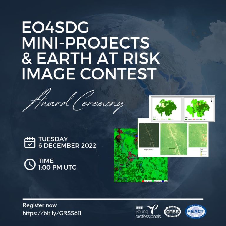
Join the Award Ceremony of the EO4SDG Mini-projects, and the Earth at Risk image contest organized by the IEEE Geoscience and Remote Sensing Society. The winners of the two competitions will get the chance to present their proposals and talk about the stories behind their outstanding EO data images followed by a Q&A session.
The mini projects for Sustainable Development Goals competition is an initiative of the Technical Committee REACT (Remote sensing Environment, Analysis and Climate Technologies) to support science and to motivate local students to work together on a specific topic related to Earth Observation and Sustainable Development Goals (EO4SDG). The focus are on local regional problems and how remote sensing can help to identify and quantify environmental/societal impact of a changing Earth. More details can be found here: www.grss-ieee.org/resources/news/new-react-eo4sdg-competition/
The winning team:
Deep Learning for Mapping Glacial Lakes in Hindu Kush & Himalayas using Sentinel-2 Multi-Spectral Data
Abdul Basit, Research Associate
Ehtasham Naseer, PhD Fellow
Nida Qayyum, Research Associate
The Earth at Risk Image Contest aims to raise awareness of nature and climate crises and to demonstrate the power of Earth Observation (EO) data in helping us better understand the environmental changes on Earth and find solutions to protect our planet. Our contest had around 35 amazing entries from over 20 countries. We were astounded by the variety, quality, and impact of the submitted Earth Observation data images highlighting different environmental issues in this first version of the contest.
The winners are announced here: www.grss-ieee.org/resources/news/2022-earth-at-risk-image-contest-winners/


