GRSS AdCom Self Nomination Period Ends Soon
The self-nomination period for the upcoming IEEE-GRSS AdCom election is ending soon!


Open Volunteer Position: IEEE GRSS Webinar Strategist
Dive into the world of webinars with IEEE GRSS! We’re looking for an enthusiastic volunteer to join us as a Webinar Strategist!
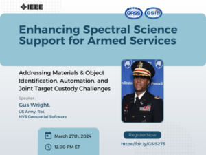

Enhancing Spectral Science Support for Armed Services
This presentation aims to explore the critical role of spectral science in bolstering support for armed services.


Post-doctoral position: NSF funded in Remote Sensing/ML/Flooding/Equity at University of Arizona
The Social Pixel lab at the University of Arizona is seeking a post-doctoral researcher to map floods using machine learning and satellite imagery to understand inequity in urban flood adaptation and build capacity for environmental justice organizations.
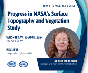

Progress in NASA’s Surface Topography and Vegetation Study
How do Earth’s changing surface and overlying vegetation inform us about natural disasters, carbon fluxes, ecosystem habitats, sea level rise impacts, and water availability? NASA’s Surface Topography and Vegetation (STV) Study aims to address this and other discipline specific questions.
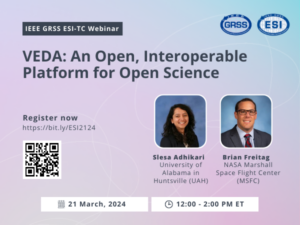

VEDA: An Open, Interoperable Platform for Open Science
This presentation will demonstrate the VEDA system’s practical use, focusing on visualizing and analyzing NASA’s earth science data, navigating its STAC, and leveraging its open-source features for analysis and visualization. Speakers: Brian Freitag, Slesa Adhikari
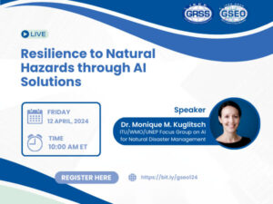

Resilience to Natural Hazards through AI Solutions
This webinar will look at the activities of a UN Focus Group to systematically develop best practices and standards in the use of AI for this application.
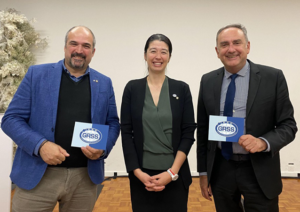

GRSS, AP-S and MTT-S explore new possibilities with partnership
As the partnership with IEEE Geoscience and Remote Sensing Society (GRSS), IEEE Antennas and Propagation Society (AP-S) and IEEE Microwave Theory and Techniques Society (MTT-S) continues this year, Maci and Carvalho expressed in an interview with GRSS their optimism in the outcome of this collaboration.

Call for Papers: Climate Change Standards Initiative at the 2024 NIST/IEEE Conference on Computational Imaging Using Synthetic Apertures (CISA)
The IEEE Signal Processing Society, the IEEE Geoscience and Remote Sensing Society (GRSS), the GRSS Standards Commitee, the IEEE Synthetic Aperture Standards Commitee, and the IEEE Synthetic Aperture Technical Working Group, together with the National Institute of Standards and Technology (NIST) invite you to the picturesque NIST campus in Boulder, Colorado for the Climate Change Standards Initiative (CCSI).

Multi-Sensor Anomalous Change Detection: a New Paradigm for Rapid Change Detection in Remote Sensing Imagery
Combining multiple satellite remote sensing sources can provide a far richer, more frequent view of the earth than that of any single source; the challenge is in distilling this large volume of heterogeneous sensor imagery into meaningful characterizations of the imaged areas. This talk will present recent research in this area, discuss what worked and what didn’t work, and highlight opportunities for future research directions by the community.

2023 Earth at Risk Image Contest Winners
The IEEE Geoscience and Remote Sensing Society Young Professionals are proud to announce the winners of our 2023 Earth at Risk Image contest.

PostDoc: Surrogate modelling for Earth Observation Digital Twin (EO DT)
This postdoctoral research fellowship aims to explore and develop new surrogate models to enhance the efficiency of digital twin simulations.


